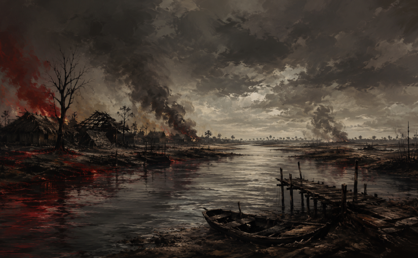
Bogra District (1971 Genocide killing fields, mass graves, and torture infrastructure)
1. Document and purpose
This analytical report is based on Genocide Killing Fields and Mass Graves Directory: Bogra District, authored by Ahmed Sharif and published in February 2018 by the 1971: Genocide-Torture Archive & Museum Trust. The directory’s stated purpose is to establish a district-level, place-based evidence record of 1971 atrocities in Bogra by identifying genocide sites, killing fields, mass graves, torture centres, and related memorialisation. It positions this work as both historical reconstruction and a practical intervention against erasure, denial, and the physical disappearance of sites through development and neglect.
2. Methodological approach and evidentiary strengths
The directory is built as a field-oriented inventory rather than a conventional narrative history. It explicitly acknowledges core constraints that are typical in late documentation of mass violence: loss of witnesses, fading memory, fear of naming perpetrators, and transformation or occupation of sites. This candour is a methodological strength because it frames the directory as an evidence base with known limitations rather than a definitive, closed account. It also clarifies why site enumeration is itself a form of evidence: even when precise casualty figures cannot be reconstructed, the density, distribution, and typology of sites reveal patterns of organised violence at district scale.
A second strength is the directory’s multi-category structure. By mapping not only “killing fields” and “mass graves” but also “torture centres”, “martyrs’ graves”, and “memorial sites”, it avoids reducing genocide to death counts alone. This aligns with a more rigorous understanding of genocidal violence as a system combining killing, detention, torture, terror, and disposal practices.
3. Core empirical findings
3.1 Scale and undercounting
The directory’s most consequential empirical claim is that Bogra’s atrocity landscape has been substantially undercounted in public memory. It notes that a common earlier perception was that Bogra had roughly “fourteen or fifteen” killing fields and mass graves, whereas the current district survey records 153 sites when genocide locations, killing fields, mass graves, torture centres, and related sites are counted together. This difference is analytically important: it indicates a dispersed, repeated pattern of violence across the district rather than a small number of isolated hotspots.
3.2 Perpetrator structure and collaboration
The directory frames violence as perpetrated by the Pakistan Army, supported by collaborator formations, including Razakar, Al-Badr, Al-Shams, and non-Bengali/Bihari collaborators. The significance of this framing is that it treats collaboration as operational rather than merely ideological: district-wide violence requires local identification, routing, and enforcement capacity. This helps explain how violence could be executed across multiple upazilas and localities.
3.3 Death toll discourse and the limits of quantification
The directory estimates that around 25,000 people were killed in Bogra. At the same time, it emphasises the limits of exact counting, noting that many deaths were never formally recorded and that disposal practices, torture centres, and later site transformations undermine reconstruction. Analytically, the directory’s main contribution is therefore not a single definitive death toll, but an evidentiary demonstration that the number of atrocity sites is far higher than commonly assumed, which supports interpretations of systematic violence.
4. Interpretation through a genocide lens
The Bogra directory strengthens a genocide narrative primarily through pattern, geography, and system features:
- Pattern: Repetition of similar forms of violence across many sites is more consistent with organised persecution than with random wartime excess.
- Geography: The dispersion across the district indicates that violence was not confined to a single battle theatre, but extended into civic and rural space, enabling terror, forced displacement, and social rupture.
- System features: The inclusion of torture centres alongside killing fields and graves indicates a coercive apparatus that combined detention, interrogation, terror, and killing, consistent with genocidal processes rather than purely combat-related death.
- Denial-resistance function: By cataloguing sites at scale, the directory provides a grounded counter to minimisation strategies that rely on the absence of “known” locations or the assumption that violence was limited to a few places.
A key analytical implication is that the district’s atrocity landscape is itself a form of evidence: when a large number of verified or locally attested sites exist, arguments that reduce 1971 violence to sporadic “civil conflict” become harder to sustain.
5. Gaps and risks in the current evidence base
The directory’s own reflections point to several risks that should shape future research and policy:
- Site loss and contamination: building, agriculture, and road construction can destroy physical traces and make later verification difficult.
- Witness attrition: the longer the delay, the greater the loss of eyewitnesses and the higher the risk that knowledge becomes fragmented or politicised.
- Under-documentation of torture centres: torture-centre evidence is often harder to preserve than grave sites because buildings are repurposed and records are scarce.
- Bias in what becomes “known”: sites linked to influential local actors may be harder to document due to intimidation or property disputes, potentially skewing the record towards more accessible locations.
These limitations do not undermine the directory. They indicate why a district inventory is a starting platform for deeper verification.
6. Recommendations for research, memorialisation, and policy
- Create a protected digital gazetteer for Bogra’s 153 sites
Convert the directory into a structured database (site type, union/upazila, coordinates, evidence type, verification status). This will support mapping, education, and future investigations. - Prioritise rapid geolocation and documentation of high-risk sites
Sites at immediate risk from development should be documented first (photographs, local testimony, boundary sketches), even before full memorialisation. - Establish minimum memorial standards for confirmed killing fields and mass graves
A consistent marker, short explanatory plaque, and basic protection boundary would reduce erasure and improve public knowledge. - Strengthen verification protocols for contested or politically sensitive sites
Use triangulation: multiple testimonies, secondary documentation, and where feasible, non-invasive forensic approaches. This improves credibility against denial narratives. - Integrate district-level findings into national education and public history
Bogra illustrates why national narratives must be anchored in district geographies. Teaching and museum content should present district site density as evidence of systematic violence, not as peripheral detail.
7. Conclusion
The Bogra directory provides a strategically important empirical correction: it demonstrates that Bogra’s 1971 atrocity landscape is far larger and more dispersed than commonly assumed, documenting 153 relevant sites and situating violence within a perpetrator system involving the Pakistan Army and collaborator formations. Its core value lies in how it turns genocide from an abstract national tragedy into a district-level geography of repeated violence, disposal, detention, and memory struggle. This strengthens genocide analysis by emphasising systematic pattern and infrastructure, while also highlighting urgent risks of site loss and witness attrition that make preservation and structured verification time-critical.